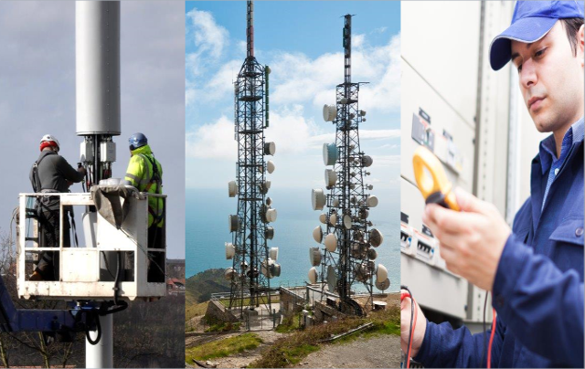
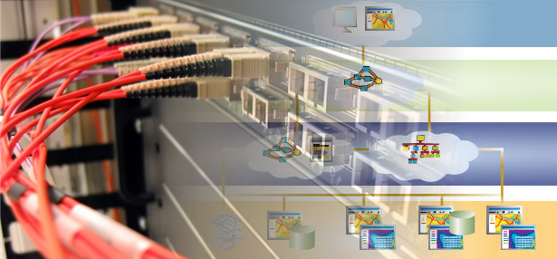
Make smarter decisions that secure the future of your cable, wireless, or wireline network.
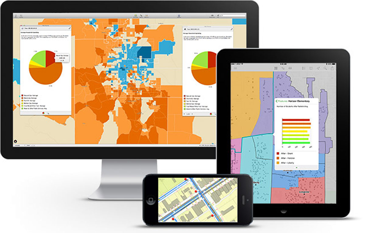
Local governments use GIS across their organizations from public works to green energy planning and civic engagement.

Provide better customer support, precise risk analysis, and efficiency claims processes.

Solidify brand and find the best location for your outlet.


TELECOMMUNICATIONS
Make smarter decisions that secure the future of your cable, wireless, or wireline network.
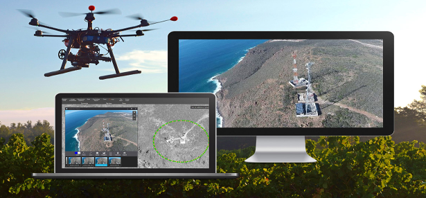
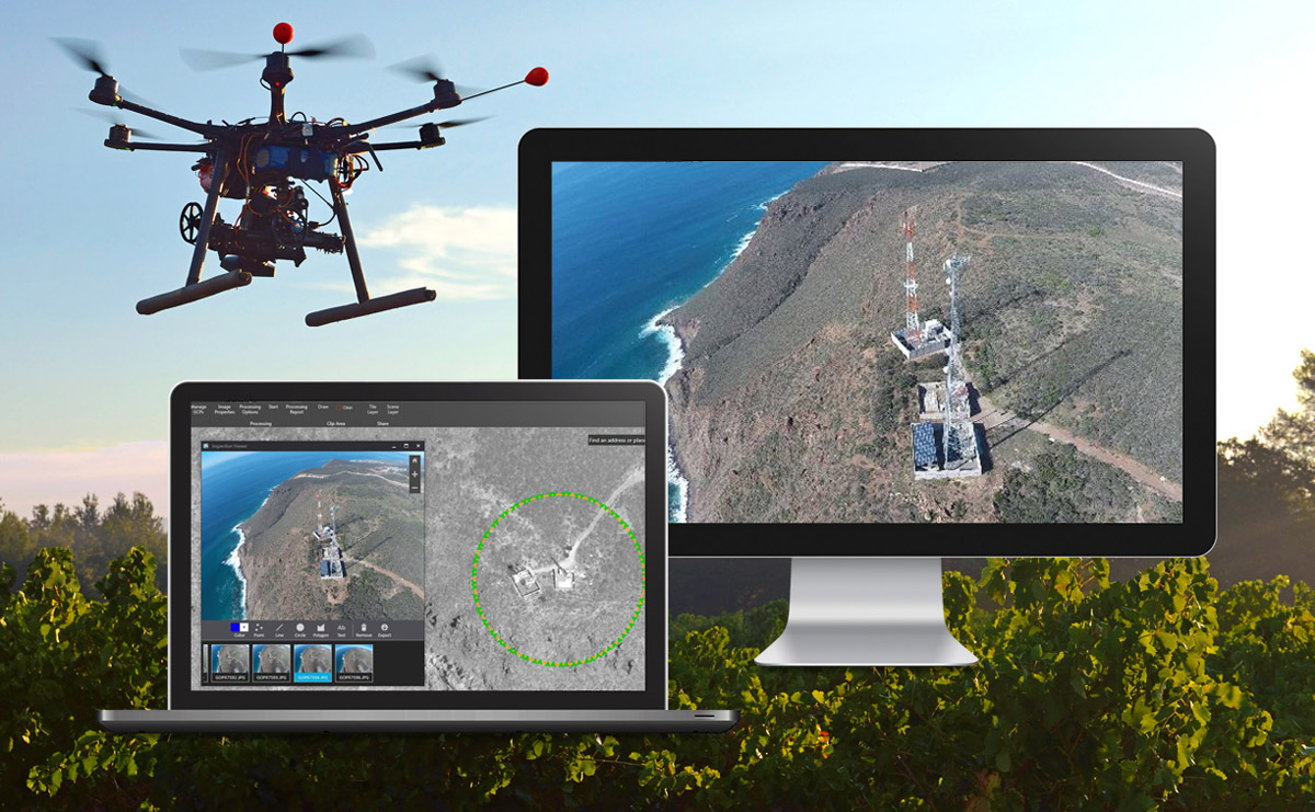
Streamline the creation of professional imagery products from drone-captured imagery for visualization and analysis.

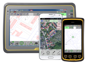
Our field solutions allow you to collect parcel information – both geographical and attributes – to meet accuracy, ease of use, and timeliness requirements.

Enabling detailed, justifiable recommendations on where to locate, remodel, expand, or consolidate a business.

DRONES
Streamline the creation of professional imagery products from drone-captured imagery for visualization and analysis.

ArcGIS PLATFORM
LEARNING GIS
-
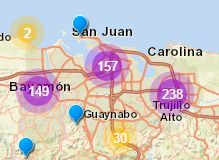
Puerto Rico Digital Atlas
Collaborative space where you will find tools that will allow you to observe our territory from an integrating perspective.
-
What is GIS?
A geographic information system (GIS) lets us visualize, question, analyze, and interpret data to understand relationships, patterns, and trends.
-
Library & Resources
This resources will help anyone, from the beginner to those who have been using GIS for some time. Get the most out of this!

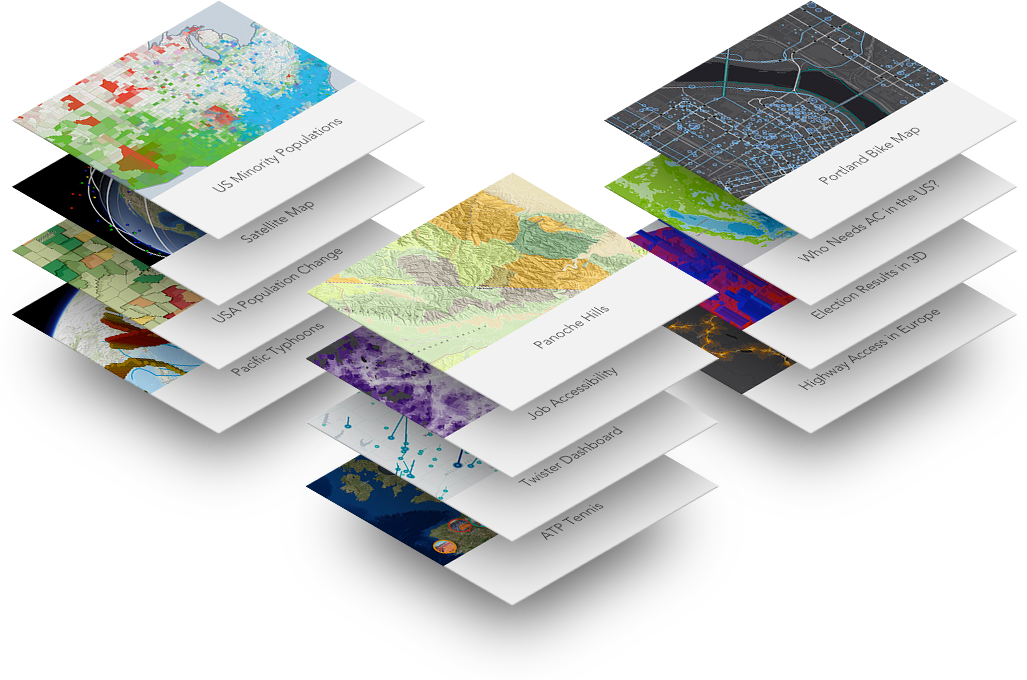
PUERTO RICO DIGITAL ATLAS
Collaborative space where you will find tools that will allow you to observe our territory from an integrating perspective.


