CrimeMapping
CrimeMapping® is the most widely used desktop crime analysis and mapping solution in North America. Hundreds of agencies utilize CrimeMapping® for investigations, deployment, emergency management and COMPSTAT reporting. Computer Aided Dispatch and Records Management Systems data is automatically imported into an Esri based mapping platform that allows end users to visualize crime activity geographically.
Features
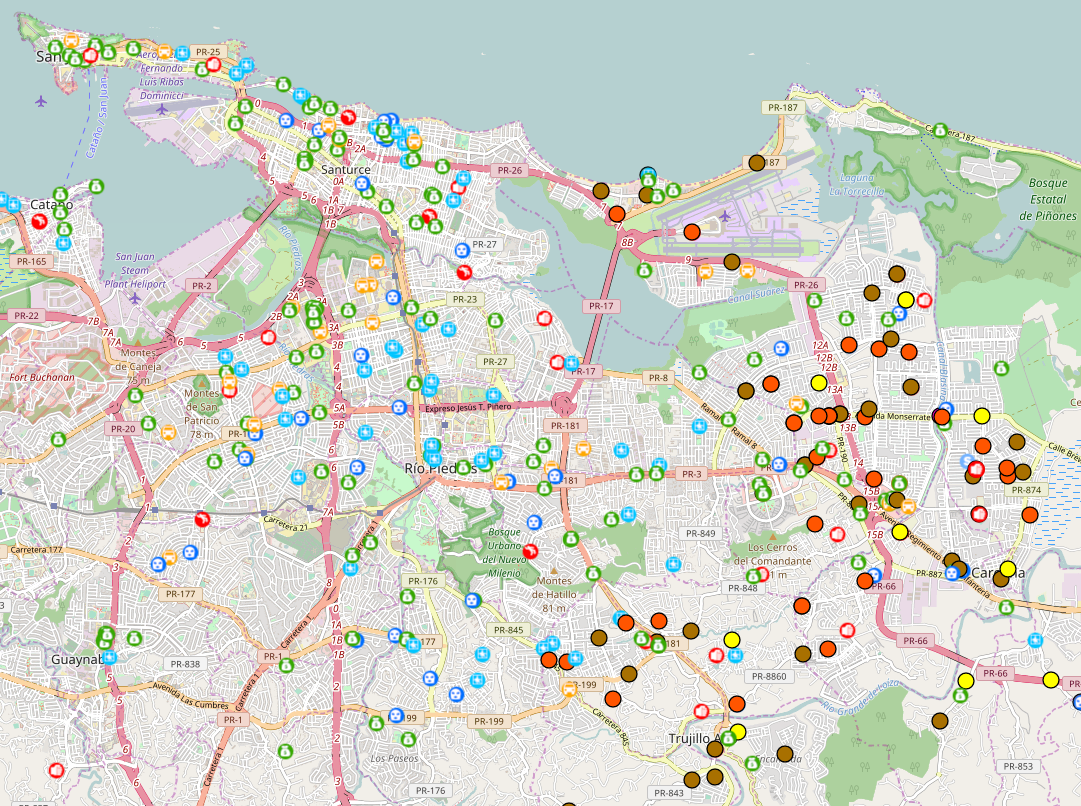
Investigate - query for incidents within any boundary, near an address or landmark such as a school or liquor store.
Filter - search for incidents by multiple categories such as crime type, date or time.
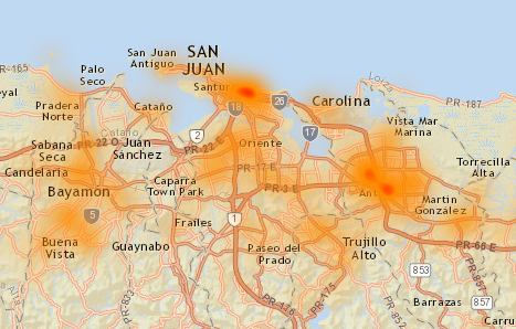
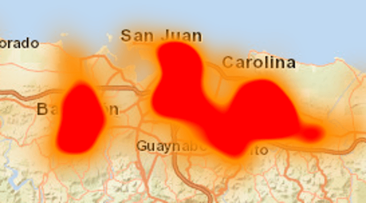
Focus - create density, hot spot and repeat calls maps which help isolate problem areas.
Analyze - study patterns of crime through the use of routines such as Exception Reporting, Temporal Heat Index and Order Labels.
Automate - automate repetitive tasks with of Cyclical Reports.
Alert - notify command staff when crime exceeds a specific level with e-mail Threshold Alerts.
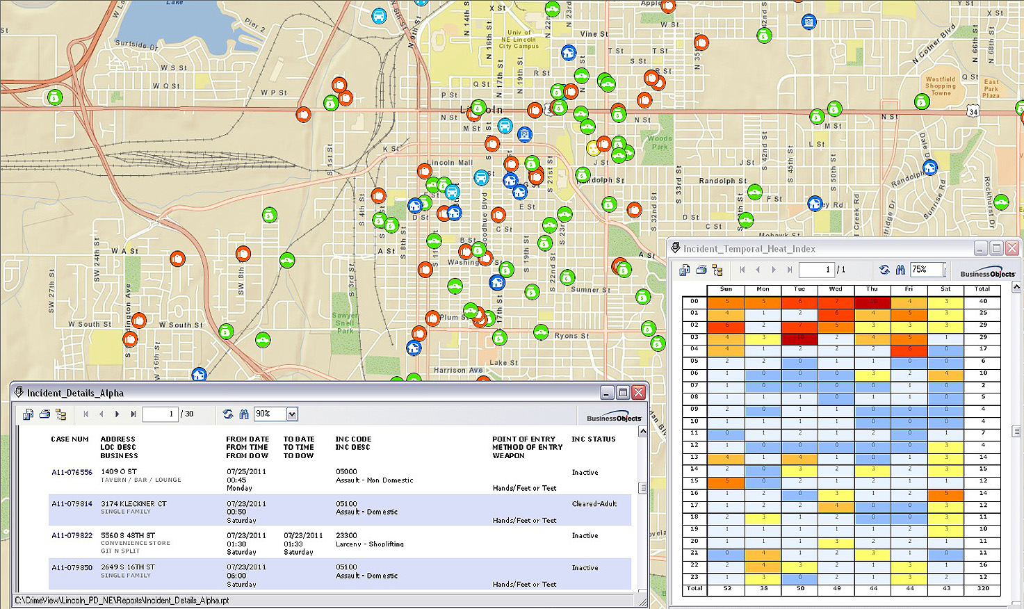
Report - produce detailed and summary reports on any crime layer and sort by numerous categories such as date of occurrence or crime type.
Chart - create charts and graphs by day-of-week, time-of-day and month of year.
Track - monitor current and emerging crime trends through Exception Reporting and Spatial Trend Analysis.