Drone Services

Drones have become an increasingly common way to capture high-resolution imagery of local areas. Easily transform drone-captured imagery into professional imagery products for visualization and analysis.

Create orthomosaics, 3D meshes and more – in minutes, not days.

The use of drones to acquire geographic information has rapidly been adopted by the geographic information community as an essential data gathering tool.

"Drones are an emerging technology with the potential to revolutionize how we work across many industries,"

Esri president Jack Dangermond.

Imagery Data Management for Drones

SEARCH, DISCOVER, RETRIEVE 

It is easy to store your projects in ArcGIS. Quickly discover and retrieve the imagery you need.

DETECT CHANGE OVER TIME

ArcGIS includes a suite of tools that allows you to perform change detection over time.

FEATURE EXTRACTION

By applying segmentation & classification algorithm to your imagery, quickly identify and discover answers to your problems.

Benefits

AUTOMATE

Turn your drone into an enterprise GIS productivity tool to create orthomosaics, 3D meshes and more—in minutes, not days.

TRANSFORM

Easily see your data from a different perspective. Add 3D to your maps without changing established processes or technology.

EMPOWER

Enable the use of technology where ordinary collection systems cannot or should not.

Ways To Use It

Land Analysis

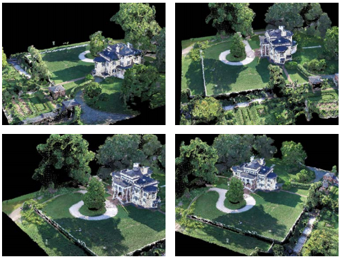
Capture images of natural and man-made land-based features and areas that may be difficult to access or fully cover because of size or terrain.

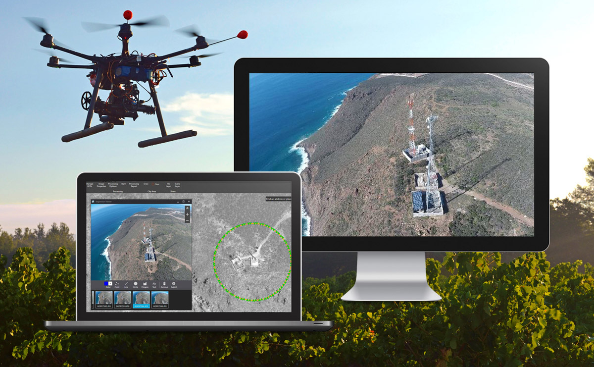
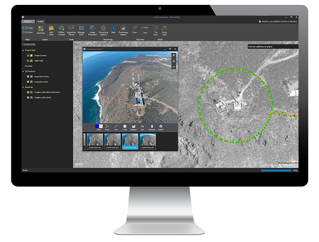
Infrastructure inspection

Easily inspect critical infrastructure and fixed assets that span vast areas.


Monitoring

Monitor scheduled events, environmental changes, the impact of natural disasters and more.


Put Your Drone to Work


Drone2Map for ArcGIS

Drone2Map for ArcGIS provides superior asset inspection capabilities. Based on captured imagery, see an asset or collection of assets from a 360⁰ view or a specific angle.

Read more 


ENVI® OneButton™

ENVI® OneButton™ Professional software comes bundled with ENVI OneButton software, the industries’ easiest-to-use image processing product. ENVI OneButton professional provides an additional complete photogrammetric toolset for more refined, expert-level results.