ArcGIS Platform

ArcGIS platform is Web GIS, which combines GIS servers, portals, and apps to enable everyone in an organization to discover, use, make, and share maps from any device, anywhere, anytime. Web GIS can be implemented as SaaS, as software on-premises, or as a hybrid of these.

Discover, Use, Make, and Share Maps from Any Device, Anywhere, at Any Time.

What is ArcGIS Desktop?

ArcGIS Desktop is the key to realizing the advantage of location awareness. ArcGIS Pro is included in ArcGIS Desktop, a complete suite of applications for desktop GIS.

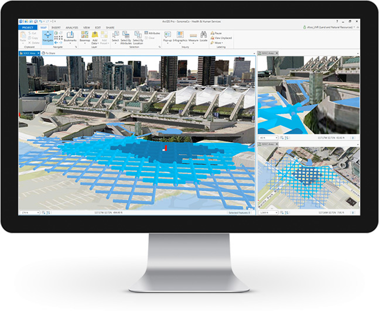
What can you do with ArcGIS Pro?

  • Create, manage and analyze data
  • Go 3D 
  • Work with imagery
  • Enable your enterprise
  • Streamline workflows, automate, and script.

   ArcGIS Desktop also includes:

  • ArcMap, the original desktop GIS product.
  • Access to the entire ArcGIS platform.
  • More capabilities when you opt for extensions.

Find out more 

What is ArcGIS Enterprise?

ArcGIS Enterprise, is a full-featured mapping and analytics platform that includes a powerful GIS web services server plus dedicated Web GIS infrastructure.

What's included with ArcGIS Enterprise?

ArcGIS GIS Serverthe core web services component for making maps and performing analysis.

Portal for ArcGISshare maps, apps, and other geographic information within your organization.

ArcGIS Data Storeconfigure data storage for hosting & federated servers used with your deployment.

ArcGIS Web Adaptorintegrate your ArcGIS GIS Server & Portal for ArcGIS with your existing web server and your organization's security mechanisms.

Find out more 

What is ArcGIS Online?

ArcGIS Online is an online, collaborative Web GIS that allows you to use, create, and share maps, scenes, apps, layers, analytics, and data.


What can you do with ArcGIS Online? 

  • Work with 3D GIS 
  • Perform Analysis
  • Collaborate & share your work
  • Add items and publish layers
  • Administer your organization

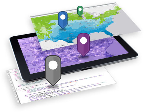
How do you access ArcGIS Online?

You can access ArcGIS Online through web browsers, mobile devices, and desktop map viewers, as well as directly through other components of the ArcGIS system.

Find out more