Insurance
By viewing and analyzing customers against hazard data by location, the underwriters and pricing analysts were able to better manage exposure and increase growth across every line of business—automotive, property, personal, and commercial. Location analytics created a collaborative environment that helped them reveal why and where profits were decreasing and how to reverse the trend.
Because insurers closely guard how they balance exposure within their books of business, this use case represents how Esri helps leading insurers, reinsurers, and risk managers be successful.
Benefits
Risk Analytics
ASSESS
Efficient Underwriting.
Understand risk better than ever by viewing it's exact location, past trends and modeling expected futures.
SHARE
Model Better Data.
Improve the information you use to model catastrophic loss by integrating the most current data from many sources.
MANAGE
Embrace Portfolio Diversification.
Understanding location means you can better evaluate capacity, offering the best protection while still ensuring the health of your business.
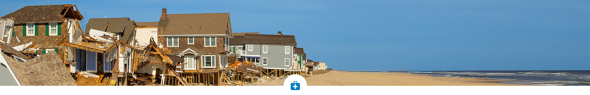
Claim Management
ASSIST
Proactive customer service.
Understanding the locations of risks and customers helps adjusters respond quickly.
ALLOCATE
Before and after an event.
Match the number and expertise of adjusters to the needs of your customers by understanding the severity of destruction.
MITIGATE
Detect fraud accurately.
Visualize where and when events occurred so you can discern which claims may not be accurate.
Solutions

Esri Location Analytics
Makes it easy to geo-enable your business data with intuitive mapping and analytical tools. Access local hazard information at a global scale. Correlate loss severity with geography and access historical data including customer information and risk. Provide accurate quotes and uncover new markets.
Esri Demographics
Esri Demographics adds greater insight to your maps and more context to your analysis. Esri Demographics helps you understand the unique characteristics of a population based on a specific location.
")
")
ArcGIS Online
Easy access and understanding can be achieved through interactive maps and apps available through ArcGIS Online.
ArcGIS for Flood
Solutions for Flood includes software and professional services to help your organization prepare for, manage, and recover from historic rainfall.

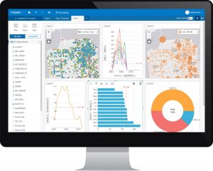
Insights for ArcGIS
Insights for ArcGIS is a new spatial analytics experience that brings fast, powerful data exploration and discovery to everyone in the enterprise. It extends and complements the ArcGIS platform as a “system of insight”.