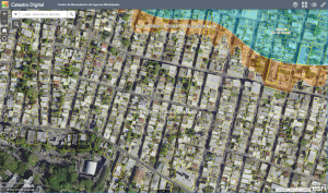
Manage an accurate inventory of real property, describe who owns the land, analyze land value and associated improvements, and maximize tax property revenue.
■ Maintain Property Information
■ Photo Inventory Properties
■ Visualize Property Value
■ Notify Property Owners
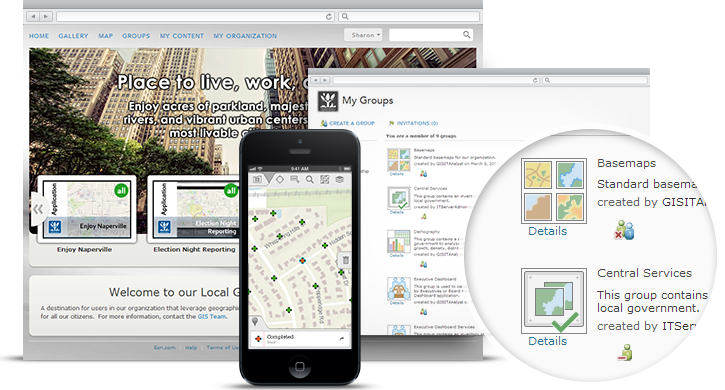
■ Engage Citizens
■ Recover Tax Revenue
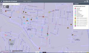
Understand trends, analyze the dynamics of an incident, collaborate with other agencies, and allocate resources effectively to protect human life and property in your community.
■ Inventory Administrative Areas
■ Create Crime Predictions
■ Manage Community Events
■ Develop Pre-Incident Plans
■ Identify Transportation Hazards
■ Create Incident Maps

Fish & Wildlife
A collection of maps and apps that enable citizens to discover services, to find recreational activities around the state, and facilitate access to state maintained facilities.
■ Collect & Manage Observations
■ Survey Wildlife
■ Management Area Locator
■ Monitor Water Quality
■ Water Access Locator
■ Inform Environmental Impact

Emergency Management
Support the mission of Emergency Management organizations facilitating the work in preparedness, response, recovery, and mitigation.
■ Develop Flood Response Plans
■ Emergency Assistance
■ Share Evacuation Zones
■ Report Health & Safety Issues
■ Situational Awareness
■ Collaborate with Others